
Charleroi: Growth, Culture & Cleaner Air
Charleroi is a vibrant city located in the Wallonia region of Belgium, known for its rich industrial heritage and dynamic cultural scene. Once a major center for coal mining and steel production, the city has transformed into a hub for creativity and innovation. Charleroi offers a blend of historic architecture and modern developments, making it a unique destination in southern Belgium. Its strategic location near the French border adds to its importance as a key urban center in the region.
Charleroi Key Statistics Overview
Charleroi Population Statistics
Charleroi has a population of 241,219 in 2024, showing a growth of 19.0% over the past five years. This growth rate is slightly behind Rotterdam's 20.1% but significantly higher than Ghent's 3.0% within the same country. The city covers an area of 141 km², resulting in a population density of 1,717 people per km². This density is similar to other cities in the country but 57% more spacious compared to the European average. Compared to European cities like Barcelona and Turin, Charleroi has a much lower population density, reflecting its transition toward suburban characteristics.
Population Over Time
Chart loading...
Population Density Over Time
Chart loading...
Charleroi Employment & Jobs Data
Charleroi had an unemployment rate of 14.3% in 2023, which is above the European average. This rate reflects a trend similar to other cities in its country. The data indicates that Charleroi faces challenges in the job market consistent with national patterns. No specific comparisons with other cities are provided beyond this general trend. Overall, the unemployment rate suggests a higher level of joblessness compared to the broader European context.
Unemployment Rate Over Time
Chart loading...
Activity Rate Over Time
Chart loading...
Charleroi Tourism & Visitor Statistics
In 2018, Charleroi recorded 253,603 tourism nights, indicating a low level of tourism activity. Despite this, Charleroi outperformed other Belgian cities such as Ghent, which had 78.0% fewer tourism nights, and Antwerp, with 25.1% fewer tourism nights. Compared to the European average, Charleroi's tourism nights remain below average. The data suggests that while Charleroi attracts fewer tourists overall, it performs relatively well within its national context.
Tourism Nights Over Time
Chart loading...
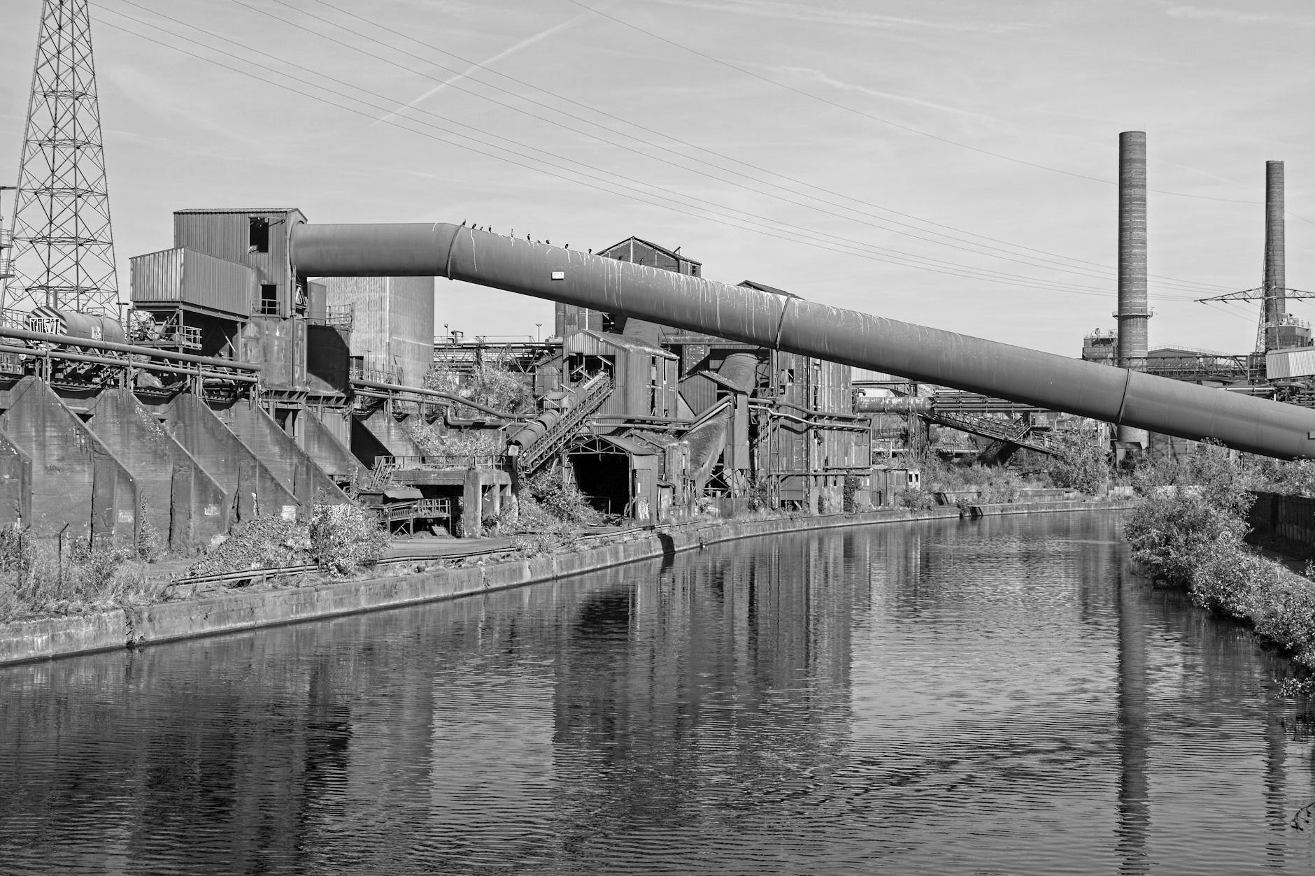
Photo by Emmanuel Codden on Pexels
Charleroi Environment & Air Quality Data
Charleroi's PM10 concentration in 2013 was 21.6 µg/m³, which is within EU limits for air quality. The city has shown a significant improvement in reducing PM10 levels, with a decrease of 33.8% compared to other Belgian cities such as Ghent and Antwerp, which saw reductions of 25.6%. Compared to the European average, Charleroi's air pollution levels are relatively moderate. This trend indicates progress in managing air quality in the city. Overall, Charleroi is improving its environmental conditions more rapidly than some other major cities in Belgium.
Air Quality (PM10) Over Time
Chart loading...
Charleroi Statistics Summary
Charleroi stands out as a dynamic city blending its industrial past with ongoing cultural and urban renewal. Its growing population and spacious layout reflect a shift toward suburban living, while its job market faces challenges consistent with national trends. Though tourism remains modest, Charleroi outperforms several Belgian cities in attracting visitors and continues to make notable progress in improving air quality. Together, these factors highlight Charleroi’s evolving role as an important and livable urban center in southern Belgium.